Surveying · Spatial Data · Field Delivery
Turn field realityinto trusted spatial data.
Boundary survey, cadastral mapping, topographic data, UAV aerial capture, construction survey, and underground utility mapping — connected as one field-to-deliverable workflow.
Spatial capability flow
From low-altitude capture to multi-dimensional spatial intelligence.
A nine-part capability journey for public-sector, enterprise, and international clients: low-altitude economy, integrated surveying, Urban Development, 3D reality modelling, rights confirmation, resource survey, underground utilities, multi-dimensional surveying, and marine surveying.
0101 · Low-altitude economy
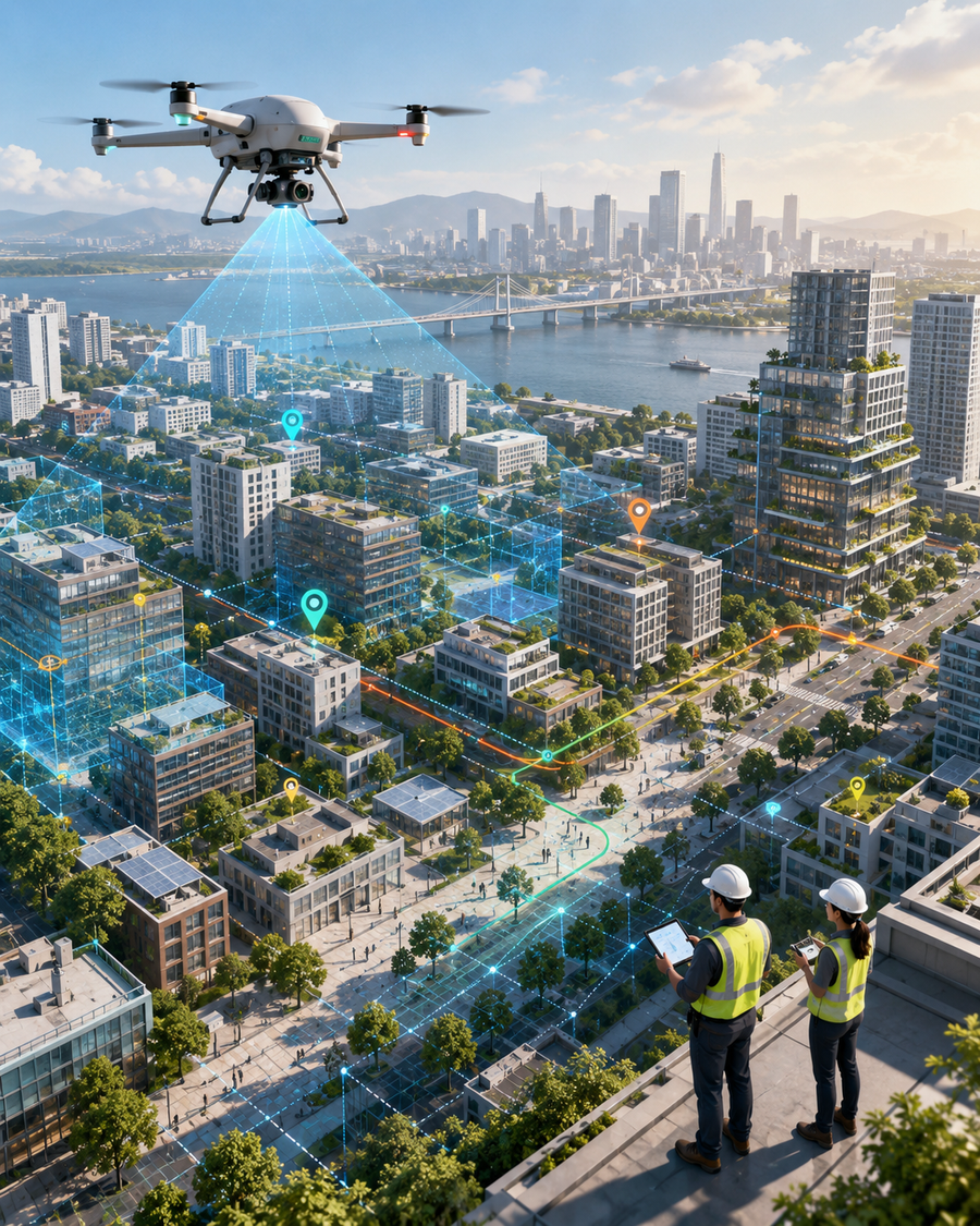
See the city from above.
Use UAV capture, AI analysis, and spatial modelling to extend inspection beyond the limits of ground patrol.
- Urban planning
- Heritage conservation
- Property surveying
- Disaster assessment
Typical outputUAV imagery · 3D model · inspection route · AI analysis report
Discuss low-altitude needs
0202 · Integrated surveying
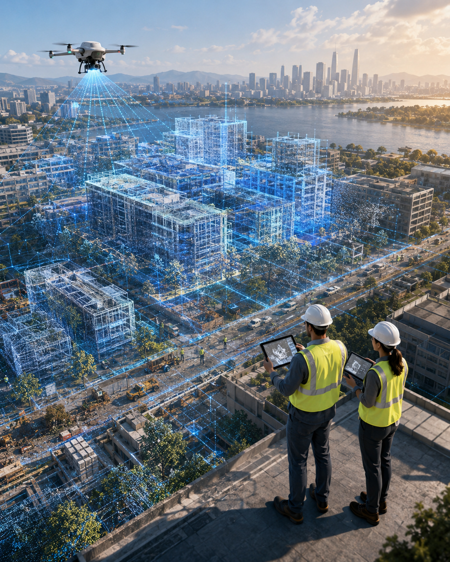
Build one foundation for many decisions.
Unify field survey, aerial capture, remote sensing, GIS, and 3D outputs into one reliable spatial foundation.
- Field survey
- Aerial survey
- Remote sensing
- GIS integration
Typical outputSurvey base map · control data · GIS-ready layers · unified records
Discuss survey foundation
0303 · Urban Development
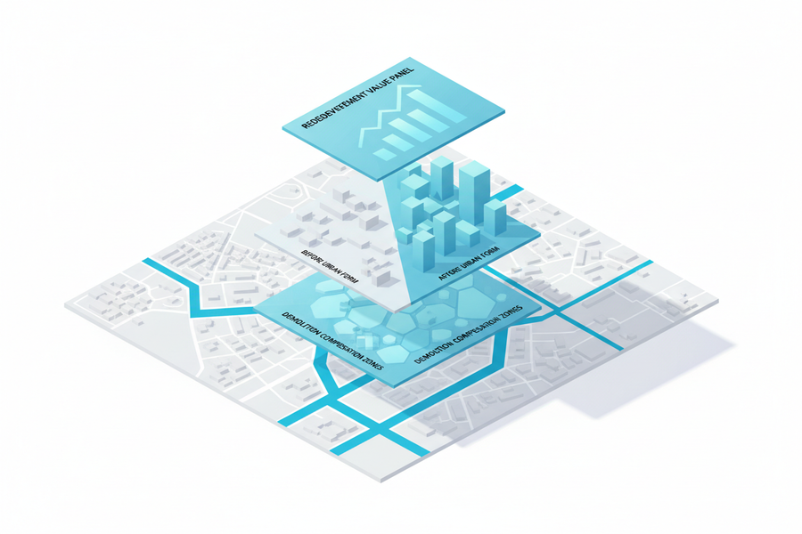
Understand the city before renewal.
Turn existing conditions into renewal-ready evidence across buildings, ownership, infrastructure, population, and planning constraints.
- Existing condition survey
- Renewal feasibility
- Planning constraints
- Decision materials
Typical outputCondition map · renewal assessment · planning evidence · project brief
Discuss renewal needs
0404 · 3D reality modelling
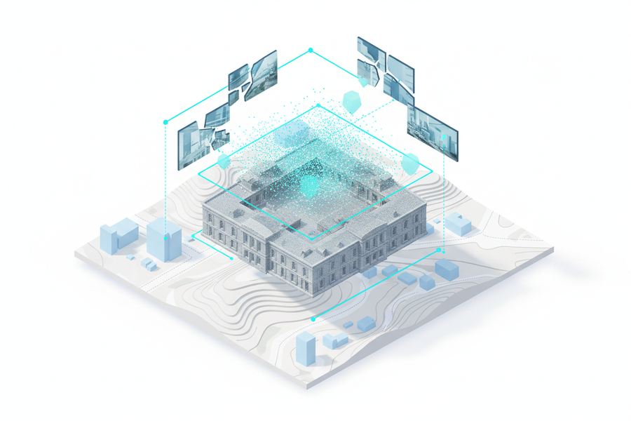
Make real places measurable.
Transform real sites, buildings, and assets into object-level digital scenes for review, planning, and operation.
- Aerial capture
- Oblique photography
- Point cloud processing
- Object-level 3D models
Typical outputReality model · object-level assets · 3D scene · digital twin material
Discuss 3D modelling
0505 · Rights confirmation
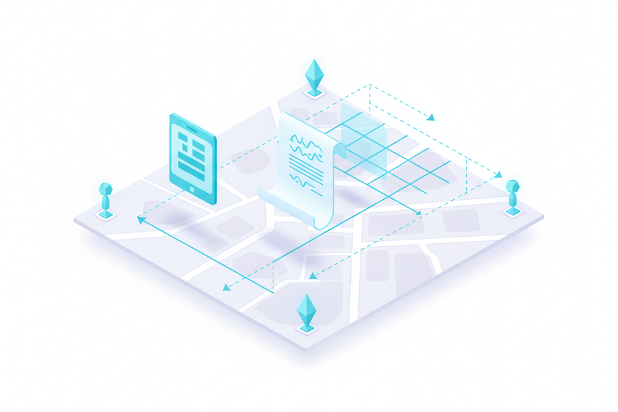
Clarify rights with spatial evidence.
Support boundary mapping, cadastral verification, housing records, and rights confirmation with defensible spatial evidence.
- Boundary mapping
- Cadastral verification
- Housing records
- Rights evidence chain
Typical outputBoundary evidence · cadastral record · property map · registration support
Discuss rights mapping
0606 · Resource survey
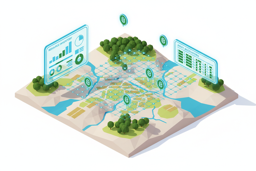
Make resources visible.
Reveal the baseline condition of land, assets, ecology, and natural resources before governance decisions begin.
- Resource baseline survey
- Classification layers
- Change monitoring
- Governance dashboard
Typical outputResource inventory · classification map · monitoring layer · review dashboard
Discuss resource survey
0707 · Underground utilities
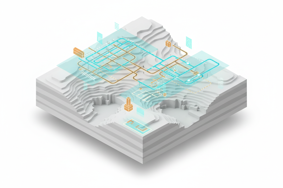
Reveal what lies underground.
Detect and model underground water, power, gas, drainage, and communications infrastructure before risk becomes cost.
- Utility detection
- 3D underground modelling
- Risk identification
- Maintenance support
Typical outputUtility map · 3D underground model · risk layer · maintenance record
Discuss utility modelling
0808 · Multi-dimensional surveying
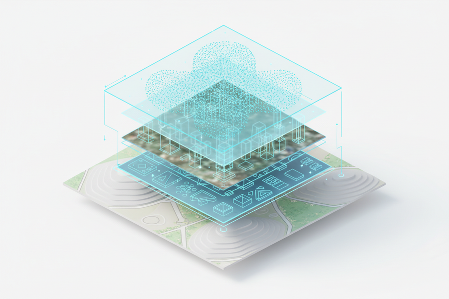
Unify every spatial layer.
Connect aerial, ground, underground, remote-sensing, 3D, and system data into a multi-dimensional spatial view.
- Aerial + ground + underground
- Remote sensing + GIS
- 3D + temporal records
- Unified spatial view
Typical outputMulti-layer spatial view · integrated database · operational map · review dashboard
Discuss multi-dimensional mapping
0909 · Marine surveying
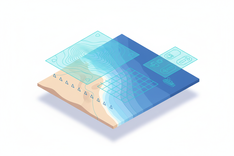
Extend spatial intelligence from land to sea.
Support coastal terrain, bathymetry, seabed scanning, marine engineering, and charting with reliable spatial evidence.
- Coastal terrain
- Bathymetric survey
- Seabed scanning
- Marine engineering support
Typical outputBathymetric data · coastal terrain record · seabed scan · charting material
Discuss marine surveying
Why project teams can start here
A practical way to turn sites, assets, inspection scenarios, and spatial data questions into evidence, scope, and next steps.
Grounded in Guangliang Surveying & Planning’s surveying, GIS, planning, reality-capture, low-altitude inspection, and spatial data delivery experience.
Begin with a site, asset, district, facility, inspection route, or missing-data problem before defining the final technical scope.
Deliverables can support review meetings, public-sector coordination, GIS integration, low-altitude inspection, and stakeholder communication.